mPower Agriculture unit aims to boost agricultural productivity for generation of employment in rural areas of Bangladesh.
SELECT WORK
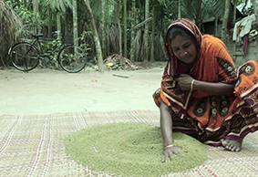
SEED VARIETY RECOMMENDATION
Seed variety recommendation is a smartphone application that provides recommendation regarding seeds for a particular crop on the basis of crop specific attributes.
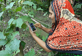
CROP DIAGNOSTICS APPLICATION
Crop Diagnostics Application is a smartphone based tool that helps farmers diagnose any problem in a crop especially pest and disease infliction.
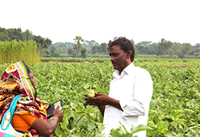
Extension Agent Scheduling & Reporting
Activity recording and performance tracking App for Field Extension Agents i.e. Sub-Assistant Agriculture Officer (SAAO) or Field Agents of Agro Companies.

Remote Agro Consultation Service
Farmer Query System (FQS) is a mobile app based remote consultation service where user (farmer or infomediary) can place queries.
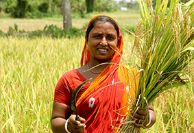
AgroMet Service (Localized Weather Based Agro-Advisory)
SHUFOLA is a highly localized agriculture advisory service that combines crop management practice with weather condition.
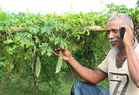
GEOPOTATO (Late Blight Alert for Potato)
Geopotato is a geodata driven decision support system (DSS) that provides early alert to registered farmers for spraying preventive fungicide via SMS and Voice Message three (3) days prior to a possible late blight attack. GEOPOTATO DSS combines satellite image processing data of potato crop biomass growth and real-time weather data from Automatic Weather Stations (AWS) to determine conducive environment for late blight attack.
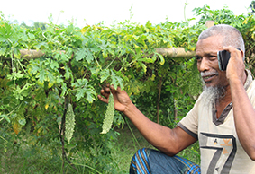
GEOBIS (Crop Model Based Stress Alert)
GeoBis is a crop management advisory service for smallholder farmers. Using advanced crop model, spatial and weather data – GeoBis provides actionable advice to farmers including weather alerts e.g. heat stress, cold stress, foggy weather etc. and associated management practices. GeoBis is a proven service model that considerably improves agricultural productivity.
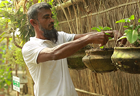
Climate vulnerability mapping and action plan monitoring System
The information system is a combination of geo-mapping dashboard and smartphone based data collection App that marks the key geographic features and cropping pattern to identify climate vulnerability of the community. Once the problems of livelihood are identified, villagers are divided into various intervention categories.
